City council has approved an additional $46,000 in funds for an ongoing floodplain mapping study for Mill Creek and Ben’s Ditch.
The city’s floodplain mapping has not been updated since 1991, which prompted the city to retain WSP Canada in 2023 to update the document.
Given additional efforts required over the course of the study, and WSP’s recommendation to update its scope and map east of Ben’s Ditch, city council approved bumping the approved budget from $157,000 to $203,000 at Monday’s council meeting.
The original budget included $68,500 in grant funding from the Ministry of Natural Resources and Forestry.
“Additional effort was necessary to (meet) the technical requirements of the study by revising GIS elevation data and using supplementary effort to address the climate change scenarios,” said Patrick McDonald, a stormwater project engineer for the city.
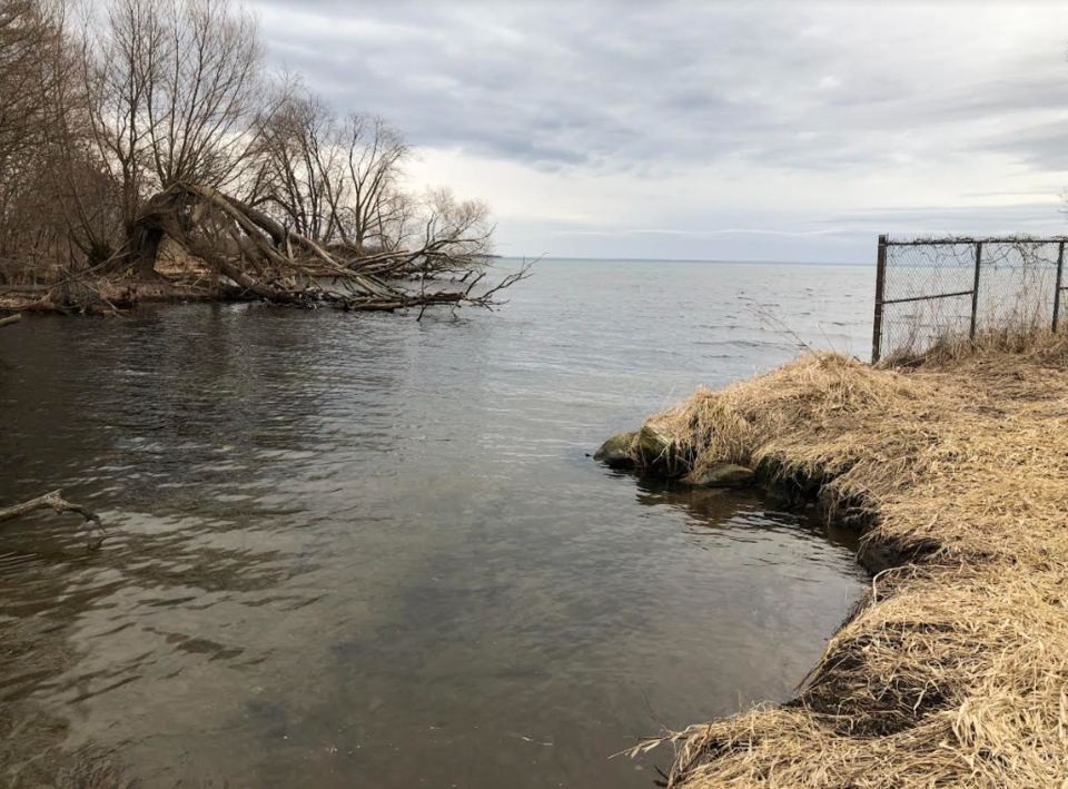
McDonald said water has “surcharged the banks of Ben’s Ditch” and that further study will “identify the exact extent of how far that will go.”
“As a project enhancement, the consultant recommended further study via an alternate modelling approach to identify the limits of floodplain mapping east of Ben’s Ditch,” he said.
The mapping serves as one of the background studies to the city’s planned Official Plan updates, and will also enable the city to update its floodproofing policies, city staff said.
“The floodplain study findings will inform future policy development and the new Official Plan, and ultimately future regulatory changes in our zoning bylaw to help protect future development from the impacts of flooding events that may occur,” said Ian Sugden, the city's general manager of development services and engineering.
Coun. Jay Fallis questioned whether the study will address drainage issues in the West Street and Queen Street area, but city staff said that area is outside of the current study’s area.
“There are particular issues at Front Street and Queen Street that engineering staff have identified and we are looking to address in the near future, but that is … something that's outside the floodplain mapping for the study,” McDonald said.
Coun. Ralph Cipolla said he noticed debris in Ben’s Ditch, including tires, and questioned whether cleaning out the area is something city staff plan to do.
McDonald replied cleaning the area is not part of the current study, but could be undertaken in the future, given council direction.