WEATHER ALERT
ENVIRONMENT CANADA
***************************
Snow squall watch in effect for:
- Orillia - Lagoon City - Washago
- Midland - Coldwater - Orr Lake
Flurries and local snow squalls expected Monday afternoon into Tuesday morning.
Hazards:
Locally heavy snowfall and reduced visibility due to lake-effect flurries.
Total snowfall accumulations of 15 to 25 cm.
Timing:
Monday afternoon through Tuesday morning.
Discussion:
Lake-effect flurries and snow squalls are forecast to begin Monday near noon. These flurries and snow squalls will continue through Monday night before coming to an end Tuesday morning.
Total snowfall accumulations of 15 to 25 cm can be expected.
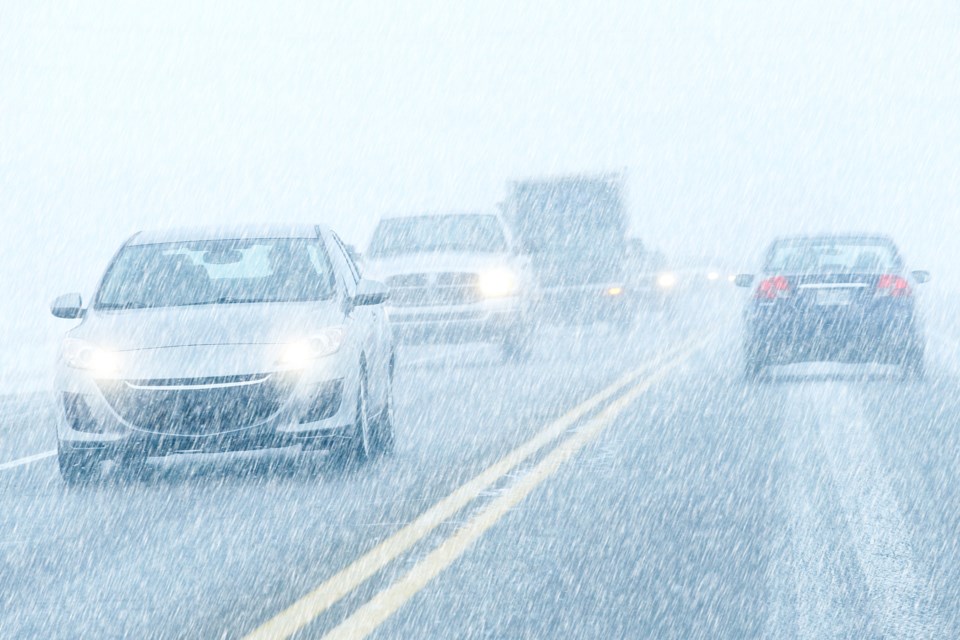
Snow squalls cause weather conditions to vary considerably; changes from clear skies to heavy snow within just a few kilometres are common. Surfaces such as highways, roads, walkways and parking lots may become difficult to navigate due to accumulating snow. Consider postponing non-essential travel until conditions improve.
Please continue to monitor alerts and forecasts issued by Environment Canada. To report severe weather, send an email to [email protected] or tweet reports using #ONStorm.
***************************