WEATHER ALERT
ENVIRONMENT CANADA
*************************
Snow squall warning in effect for:
- Barrie - Collingwood - Hillsdale
- Midland - Coldwater - Orr Lake
- Orillia - Lagoon City - Washago
Snow squalls this afternoon through tonight.
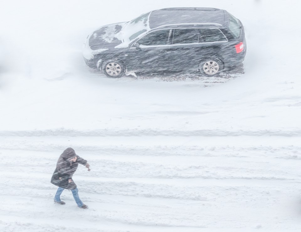
Locally heavy snow squalls are forecast to develop today with the arrival of an unseasonably cold airmass. Locally heavy snowfall amounts of 10 to 15 cm will be possible today. By tonight, as the winds shift to a more northwesterly direction, snow squalls will become more confined to areas east of the Blue Mountains and west of Barrie, likely impacting the communities of Collingwood and Wasaga Beach. An additional 10 to 15 cm will be possible in these areas by the time the snow squalls weaken late tonight.
Strong northwesterly winds gusting up to 80 km/h will also accompany the snow squalls this afternoon and early this evening, resulting in reduced visibilities in heavy snow and blowing snow. Given the strength of the winds and falling temperatures with time, blowing snow will be common under any snow squall that forms.
Motorists should be prepared for adverse winter driving conditions and adjust their travel plans accordingly.
Snow squalls cause weather conditions to vary considerably; changes from clear skies to heavy snow within just a few kilometres are common. Visibility will be suddenly reduced to near zero at times in heavy snow and blowing snow.
Please continue to monitor alerts and forecasts issued by Environment Canada. To report severe weather, send an email to [email protected] or tweet reports using #ONStorm.
*****
Wind warning in effect for:
- Barrie - Collingwood - Hillsdale
- Midland - Coldwater - Orr Lake
Potentially damaging winds today.
Winds have eased from their peak last night. However, winds are forecast to strengthen once again this morning, particularly along the shorelines of Lake Huron and Georgian Bay. Gusts up to 90 km/h can be expected from late morning through early afternoon. Winds will slowly ease later this afternoon into this evening.
Power outages are possible.
Damage to buildings, such as to roof shingles and windows, may occur. High winds may toss loose objects or cause tree branches to break.
Please continue to monitor alerts and forecasts issued by Environment Canada. To report severe weather, send an email to [email protected] or tweet reports using #ONStorm.
*************************