Environment Canada has upgraded its weather alert for the area with a warning to drivers of near zero visibility at times due to intense snow squalls.
The late winter blast could last until Thursday afternoon, the weather agency says.
Find more details in the following news release:
Issued at 2024-02-28 4:52 p.m. by Environment Canada:
Snow squall warning replaces snow squall watch for:
Barrie - Orillia - Midland
Current details:
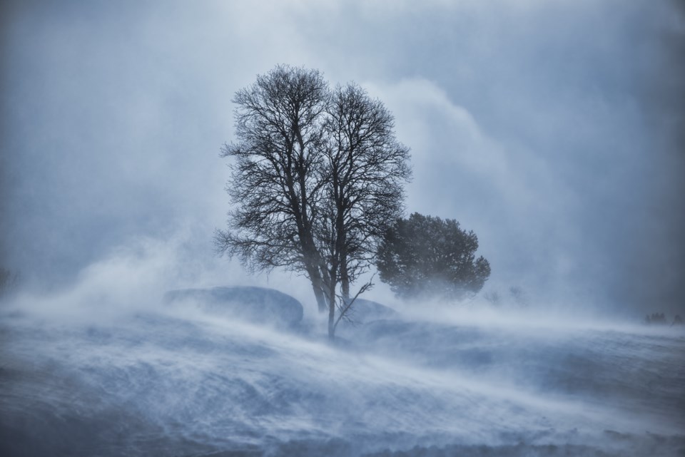
Snow squalls are expected. Under the snow squall bands, visibilities will be significantly reduced due to the heavy snow combined with blowing snow, and snow will rapidly accumulate.
Hazards:
Significantly reduced visibilities in heavy snow and blowing snow.
Northwesterly winds with gusts up to 80 km/h through this evening.
Total snowfall accumulations of 20 to 40 cm.
Peak snowfall rates of 3 to 5 cm per hour.
Timing:
This evening through Thursday afternoon.
Discussion:
Intense snow squalls are expected tonight in the wake of a sharp cold front. Significantly reduced visibilities, to near zero at times, are expected due to strong northwesterly winds combined with heavy heavy snow. Peak intensity for these snow squalls is expected overnight through Thursday morning.
Snow squalls cause weather conditions to vary considerably; changes from clear skies to heavy snow within just a few kilometres are common.
Please continue to monitor alerts and forecasts issued by Environment Canada. To report severe weather, send an email to [email protected] or tweet reports using #ONStorm.